6 Ways RTK Boundaries Are Making My Farm Run Smarter
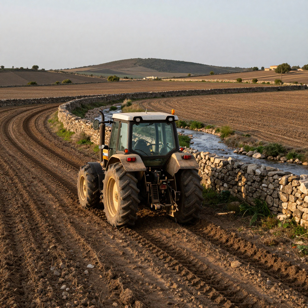
I’m not the kind of farmer who buys new tech just because it’s shiny. Usually, I wait until the neighbour has tested it for a couple of seasons and worked out the bugs. But when the local co-op started pushing RTK boundaries a few years back, I figured I’d give it a go on a […]
Navigating Without a Compass: Why I’m Watching the ZED-X20D
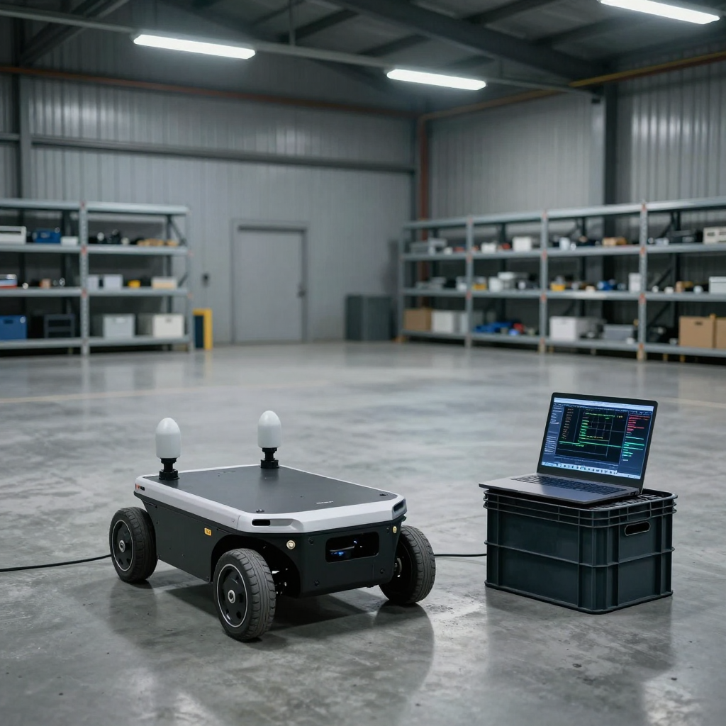
I’ve been working with GNSS for long enough to remember when getting a reliable heading meant babying a magnetometer and praying there wasn’t a steel beam anywhere nearby. A couple of years ago, we were testing an autonomous warehouse rover in a hangar—cold, echoey, full of metal shelving. The heading kept drifting, sometimes by 15 […]
Breaking the Canopy Barrier: How BOKU’s Human-Centered AI is Revolutionizing RTK Precision in Forestry
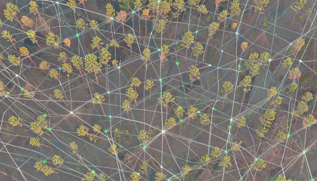
Precision is the heartbeat of modern geomatics, but for decades, that heart has skipped a beat whenever a surveyor stepped under the “green shield” of a forest canopy. While Real-Time Kinematic (RTK) positioning has mastered the open field, the dense, multi-layered environments of forest stands have remained a final frontier of sorts—riddled with signal drops, […]