Somewhere beneath every road, pavement and back garden there is a tangle of pipes, cables, conduits and ducts that keeps modern life running. Water, gas, electricity, telecoms, district heating, stormwater drainage — layer upon layer of infrastructure installed over decades, often by different contractors, recorded in different systems, and almost never in exactly the position the drawings say.
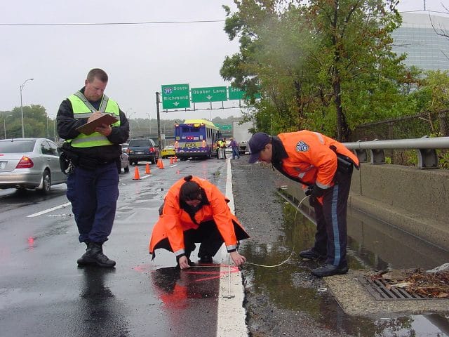
Ask any civil engineer who has opened a trench based on existing utility records, and you’ll hear the same story. The gas main was 40 cm east of where it was shown. The water pipe was 60 cm shallower than the as-built drawing indicated. The telecom duct had been rerouted at some point and nobody updated the GIS. In the utilities industry, inaccurate position records aren’t just an administrative inconvenience — they are the leading cause of unplanned service strikes during excavation. According to the Common Ground Alliance, more than 400,000 utility strikes occur annually in the United States alone, costing the industry an estimated $1.5 billion every year in damage, downtime, and remediation.
The root cause is almost always the same: the infrastructure was recorded at installation with a GPS device that was accurate to 3–5 metres, and that error — baked into the network GIS twenty years ago — has never been corrected. RTK GNSS addresses that root cause directly. With 1–2 cm horizontal accuracy, as-built records taken at installation time with an RTK receiver are accurate enough to locate a buried pipe on re-excavation without any margin of ambiguity. The record that goes into the GIS on the day the trench is backfilled is the record that saves someone’s life — or saves a gas main — ten years later.
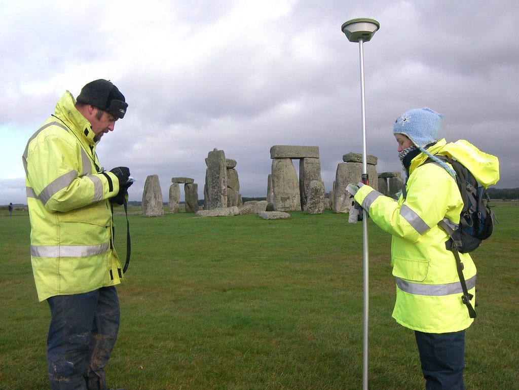
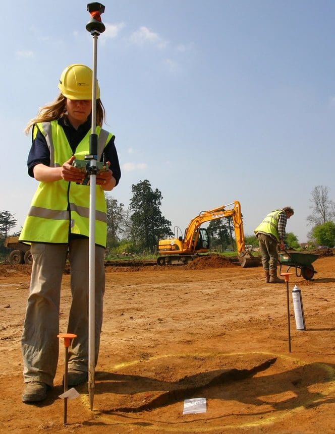
RTK handheld with NTRIP — The standard tool for field operatives recording pipe and cable positions during and after installation. A compact receiver mounted on a survey pole connects via Bluetooth to a tablet running a GIS field app. Corrections arrive over the mobile data network from a national RTK correction service. In most urban environments — where the majority of utility work takes place — mobile coverage is consistent and NTRIP works reliably. Accuracy is 1–2 cm horizontally throughout the survey.
Machine-mounted RTK on excavators and pipe-laying equipment — For large-scale pipeline installation projects, RTK modules are integrated directly into the excavator cab or pipe-laying frame. The machine’s position is logged continuously and can be overlaid on the project design in real time, allowing the operator to verify alignment and depth without stopping work to take manual measurements. This approach is standard practice on major water main replacement and gas distribution network projects.
Base + rover for remote network infrastructure — Water treatment plants, pumping stations, substations and rural distribution infrastructure are often located in areas with poor mobile coverage. A local base station placed over a known point provides RTK corrections over a UHF radio link, delivering the same centimetre accuracy as NTRIP without needing a data connection. The ArduSimple Base-Rover Surveyor Kit is the practical choice for this type of off-network utility survey.
UAV with RTK for overhead and above-ground assets — Overhead power lines, transmission towers, substations and elevated pipelines can be inspected and mapped efficiently with an RTK-equipped drone. The drone’s position is accurate to centimetres at the time of each photograph, producing georeferenced outputs — orthomosaics, 3D point clouds, thermal imagery — that integrate directly into asset management systems without a separate GCP survey.
The most important moment in the lifecycle of any buried utility is the moment it is installed. Once the trench is backfilled, the pipe is invisible. If the position recorded at that moment is wrong, every subsequent decision made about that pipe — whether to dig near it, where to connect to it, how to respond when it fails — is made on incorrect information.
Traditional as-built surveys rely on offset measurements from surface features (kerb lines, building corners, manhole covers) taken by the installation crew and sketched onto a paper record that is later digitised. The accuracy of those records depends entirely on the care taken by the crew on the day, the legibility of the sketch, and the faithfulness of the digitisation. Errors accumulate at every step.
RTK eliminates most of those steps. The operative walks the open trench with a receiver on a pole, logging a GPS fix every metre or at each significant change of direction, depth change, or fitting. The coordinate stream goes directly into a GIS field app, attributed with pipe diameter, material, depth, and installation date. When the trench closes, the as-built data is already in the network GIS — accurate to 1–2 cm, with no intermediate sketching, digitising or data entry required.
For network operators managing thousands of kilometres of buried infrastructure, the cumulative improvement in record quality from consistent RTK as-built surveys is transformative. It doesn’t just improve safety on future excavations — it reduces the cost of every subsequent piece of work that references those records.
Research reference: Common Ground Alliance — Damage Information Reporting Tool (DIRT) Annual Report
Every utility network operator maintains a GIS of their assets — the digital map that tells field crews where everything is, that feeds into design tools, that regulators reference for planning purposes, and that is increasingly the basis for automated network management systems. The accuracy of that GIS is only as good as the data that went into it.
In practice, most utility network GIS databases are a patchwork of different data vintages and different accuracy levels. Records from recent years, collected with RTK or total station, sit alongside records from the 1980s that were digitised from paper drawings, and the two types are visually indistinguishable in the GIS unless accuracy metadata has been carefully maintained.
RTK-enabled field survey programmes allow operators to systematically upgrade the spatial accuracy of legacy records. When a crew opens a trench for any reason — repair, new connection, road crossing — an RTK fix at the exposed asset costs about thirty seconds and produces a permanent upgrade to the network record. Over time, a consistent programme of opportunistic RTK recording transforms the accuracy profile of an entire network GIS without the need for a dedicated re-survey campaign.
The same applies to above-ground assets: valve chambers, inspection covers, cabinets, poles, substations. A single operative with an RTK handheld can survey hundreds of assets per day, replacing approximate coordinates with centimetre-accurate fixes that link unambiguously to physical features in the field.
Research reference: UK PAS 128 — Specification for Underground Utility Detection, Verification and Location
Surveying engineers don’t usually end up on jobsites by accident. The work finds you—and once you’re in it, you realize quickly that every other trade in construction depends on what you do first.
Staking out markers and control points isn’t just a “preliminary step” before the real work starts. It is the real work. A single misplaced reference point doesn’t just stay on paper; it propagates through foundation pours, structural steel, and MEP rough-ins. Sometimes, an error of 15 centimeters on day one isn’t caught until the final inspection, leading to catastrophic rework costs.
Whether you are establishing the alignment of a highway interchange, setting control for a bridge abutment, or staking the footprint of a high-rise, the scope varies but the requirement remains absolute: the position must be right, and it must be legally defensible.
The contractors on the other end of your marks aren’t checking your work. They are trusting it.
RTK GNSS technology fits into this workflow not to replace the judgment of a surveying engineer, but to remove the tasks that don’t require judgment. It automates the repetitive occupation of points, manual coordinate lookups, and the tedious back-and-forth between field notes and design files.
What’s left is the work that actually needs a trained eye:
Understanding Design Intent: Translating complex engineering plans into actionable site reality.
Conflict Anticipation: Identifying spatial issues before the first shovel hits the ground.
Ground Truth Validation: Knowing instinctively when a number that looks perfect on a screen won’t work in the physical world.
That expertise is the part no kit ships with. But the right tools ensure that it is the only part you are spending your valuable time on.

Horizontal directional drilling (HDD) is the method of choice for installing new utilities beneath roads, rivers, railway lines and other obstacles without open excavation. The drill head follows a pre-designed curved bore path from an entry point on one side of the obstacle to an exit point on the other. If the bore path deviates from the design, the new installation may miss its exit point, cross existing buried utilities, or violate depth requirements beneath the obstacle.
RTK GNSS contributes to HDD projects in two ways. First, it provides centimetre-accurate survey control for the entry and exit point positions, ensuring the drilling rig is set up in exactly the right location and that the bore path design is anchored to correct real-world coordinates. A 20 cm error in the entry point position propagates through the entire bore, with consequences that compound as the drill advances.
Second, after pullback is complete, an RTK survey of the surface entry and exit points — combined with as-built data from the drill head tracking system — produces a georeferenced record of the bore path that can be loaded into the utility GIS. For crossings beneath sensitive infrastructure (high-voltage cables, major water mains, rail tracks), this as-built record is typically a regulatory requirement and must meet specified positional accuracy standards that only RTK can consistently achieve.
Research reference: Pipeline & Gas Journal — Advances in HDD bore tracking and as-built verification
When a utility fails — a burst water main, a gas leak, a cable cut — the first question the repair crew asks is: exactly where is it? If the network records are accurate, the answer takes a minute. If they’re not, the crew may spend hours probing and exposing ground in the wrong location, prolonging the outage and increasing costs.
RTK GNSS shortens emergency response in two distinct ways. The first is the quality of the records it produces during normal operations, which means the emergency crew can find the fault quickly. The second is its use during the emergency itself: as the repair crew exposes and inspects the damaged section, an RTK fix on the exact failure location — with depth, pipe material, and failure mode recorded as attributes — creates a georeferenced incident record that improves the accuracy of the network GIS at the point of repair.
For operators with regulatory obligations to report response times and location accuracy, RTK-sourced incident records also provide the audit trail needed to demonstrate compliance. The coordinate, timestamp, and accuracy metadata are all captured automatically, without requiring the crew to fill in a paper form under pressure.
Research reference: Water Research Foundation — Utility Failure Data Management: Improving Response and Prevention
Utility networks in most countries are subject to spatial data obligations: operators must maintain accurate records of their assets, submit location data to national utility registers or one-call systems, and provide coordinates to planning authorities when proposed developments may affect their infrastructure.
The accuracy thresholds specified in these obligations vary by country and asset type, but they are consistently moving in the direction of better. In the UK, the PAS 128 standard defines four accuracy classes for utility surveys, with the highest class (Quality Level A) requiring positional accuracy better than ±50 mm horizontally. In Germany, the DVGW G 402 standard specifies similar requirements for gas infrastructure. RTK delivers accuracies of 1–2 cm, comfortably exceeding all current regulatory thresholds.
For network operators preparing data submissions, RTK-sourced coordinates reduce the administrative burden of accuracy verification. The metadata attached to each RTK fix — receiver type, number of satellites, fix type (fixed/float), HDOP, correction source — provides the documentary evidence that regulators and one-call systems need to classify data at its correct accuracy level. That classification, in turn, determines whether the record is flagged with uncertainty warnings when it is returned to excavators who query the database before they dig.
Research reference: LSBUD / One-call systems — Accuracy requirements for buried utility submissions