📡 Precision GNSS — The independent knowledge platform for RTK technology professionals. Explore applications →

Environmental Monitoring with GNSS RTK

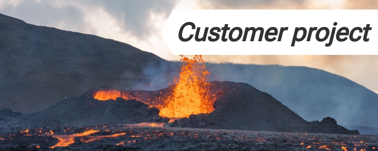
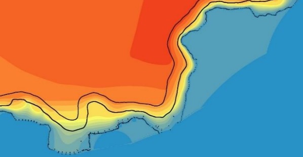
Climate change affects the environment. Environmental monitoring is, at its core, about one thing: detecting change over time. Scientists need accurate data to measure these changes. Small shifts in land, sea levels, and temperature can have big effects. But in reality, this is harder than it sounds.

Most environmental changes don’t happen suddenly. They are slow, subtle, and often invisible at first:

  • A slope that shifts a few centimeters over a year
  • A coastline that retreats little by little
  • Water that gradually changes how it flows through soil

If you can’t measure these small changes accurately and consistently, you risk missing the bigger picture. This is where GNSS RTK can help.

The hidden challenge: repeatability and accuracy

Anyone can go into the field and collect GPS data. The real challenge is coming back weeks or months later and being able to say: “I am measuring exactly the same point as before.”

GNSS RTK gives you centimeter-level positioning that is repeatable over time. You’re not just measuring locations — you’re building a consistent reference system for your entire project.

Once positioning becomes reliable, your data starts to tell a much clearer story.

Monitoring land deformation and geological processes

Ground that looks stable is often moving slowly.

With RTK, you can:

  • Detect volcanic deformation before visible activity
  • Measure subsidence in urban or agricultural areas
  • Track landslide-prone slopes

These measurements are critical for risk assessment and early warning systems.

Read more: Volcano deformation monitoring with ArduSimple affordable GNSS/RTK

Understanding coastal and water-related changes

Coastal areas are constantly evolving due to waves, storms, and rising sea levels. Environmental scientists and researchers utilize RTK technology to monitor and manage ecosystems with high precision. RTK aids in the surveying of natural landscapes, tracking changes in topography and environmental conditions.

Using RTK, you can:

  • Map shoreline position with high precision
  • Track erosion rates over time
  • Monitor flood-prone zones

This allows planners and authorities to move from assumptions to data-driven decisions. Learn more about Coastal Terrain Monitoring.

Studying soil and water behavior

Water movement in soil is complex and highly variable.

With accurate positioning, you can: compare measurements across seasons, analyze drainage and retention patterns, improve agricultural and environmental managementInstead of isolated observations, you get connected datasets over time.

Read more: Soil and water cycle survey using RTK and QGIS

Related products:

Traditional survey performance at affordable cost. First modular, reparable smart antenna on the market. No subscription fees..

Portable survey performance that fits on your hand. Includes accessories.