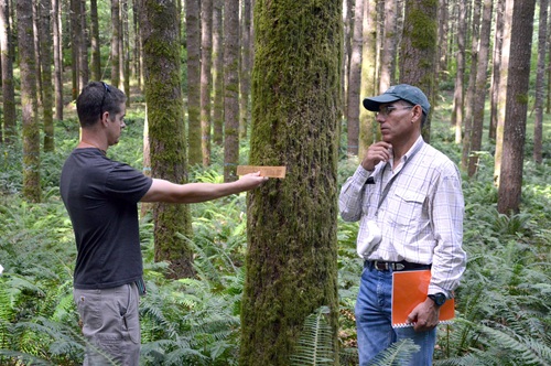
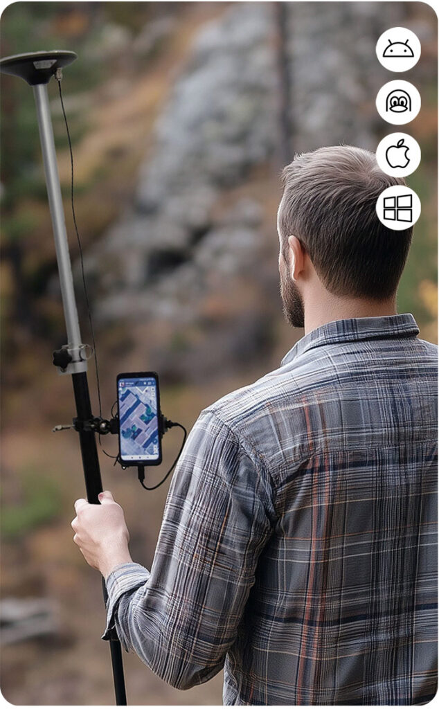
If you’re involved in university forestry classes, creating orienteering maps, or managing field data with apps like TouchGIS, accurate positioning is essential for meaningful results.
ArduSimple RTK Survey and Mapping kits can support this work by providing precise location data, even in remote or difficult terrain. This makes it possible to efficiently survey large forest areas and improve the accuracy of your GIS maps.
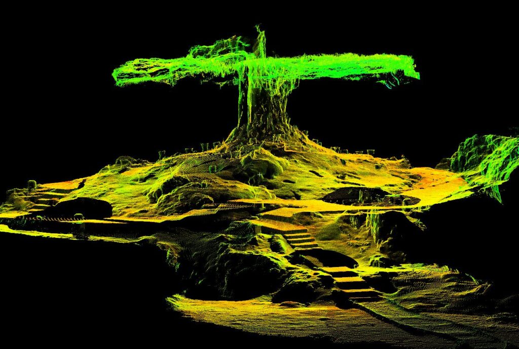
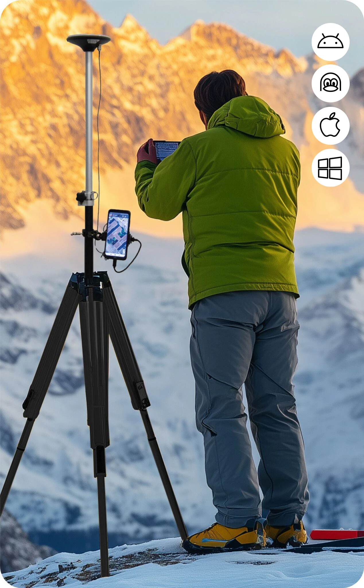